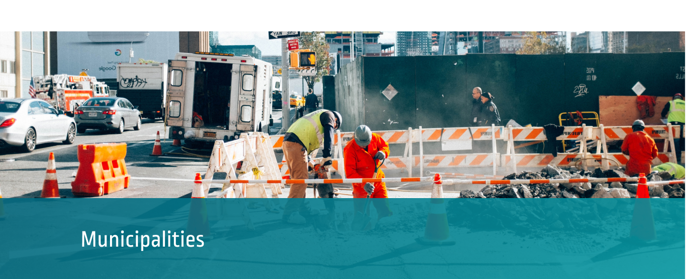
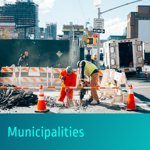
The confluence of two national trends—the increasing frequency of damaging environmental events and the rapid pace of urbanization—is requiring private- and public-sector leaders to collaborate in building resilient communities. To be effective and ensure equitable municipal growth, safety, stability and prosperity in the future, this collaborative relationship will rely on the accessibility of accurate shared data that provides a holistic profile of a city’s capacities and risks.
With this in mind, Prezerv has built a single, proprietary platform to host many disparate and previously inaccessible datasets, such as underground maps, flood zone maps and parcel information. Even those sensitive datasets that are available by access control only can be securely hosted on the Prezerv platform.