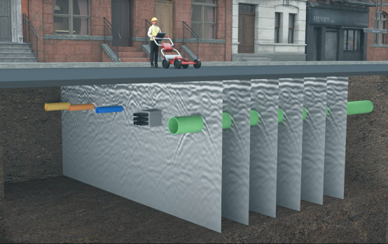
A safe, efficient and on-time project starts with an accurate map. Prezerv’s Map-ai uses artificial intelligence technology to interpret your scan data and build an accurate and interactive 3D map of infrastructure features. Your surveyors will find our AI-powered 3D maps are far more accurate than both the old fragmented 2D utility maps they may be using and the newer 3D maps they might be trying to interpret with their untrained eyes.

Use scalable artificial intelligence to boost the performance of your team. With a few clicks, upload your scan data to Prezerv’s secure platform. Map-ai analyzes your data and creates a 3D digital twin of the project in almost real-time, whether above-ground or underground. Your team can view the 3D map on any device.
Benefits


Our Insights
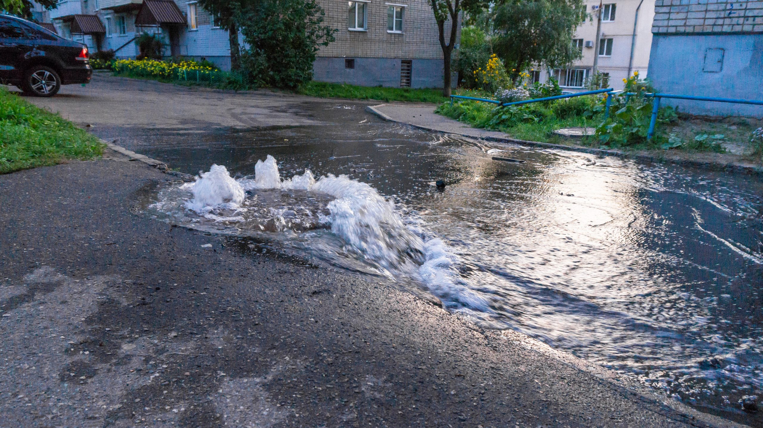
Using mapping technology to improve our aging water infrastructure
When asked to describe our nation’s aging infrastructure, most people would likely complain about the potholes in their neighborhoods or the transit systems that are always running late. Yet hiding beneath our feet is one of the most vital components
Continue reading...